IMAGINE-B5G
Firefighting and Forest surveillance
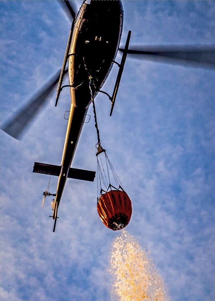
Aerial means play a key role in fire suppression. Currently, surface meteorological data is used, but varies significantly with height.
AIRWAY proposes a substantial leap forward: data capture at different heights with drones and visualisation of meteorological risk for the safe use of each aerial means, depending on its discharge height and on the various flanks of the fire.
IMAGINE-B5G enables the reliable transmission of data and images when needed, and the uninterrupted operation of applications, becoming the most reliable ally for those in charge of firefighting, saving more lives, property and forest mass.
Functionality:
Multiple applications
Maturity:
Location(s):
France
Vertical sector(s):
 Security/ PPDR
Security/ PPDR
Project Open Call 3rd-party funding
IMAGINE-B5G

Duration:
GA Number:
101096452
SNS JU Call (Stream):
Call 1
Stream D